
Temple City ZIP Code Coverage
Research identifies one verified postal designation for Temple City. That is the core of a Temple City ZIP code directory: verify postal coverage before moving to any resident record search. The table keeps the postal fact separate from assumptions about the municipal boundary. The city uses the ZIP shown below in its official materials, but a mailing label is not a land-use or legal-jurisdiction test.
| ZIP | Areas Covered | Post Office | Notes |
|---|---|---|---|
| 91780 | Primary Temple City postal designation and the official-facility ZIP | Temple City Post Office, 5940 Oak Avenue, Temple City, CA 91780-9998, (626) 287-4243 | Delivery geography is not the municipal boundary; USPS exact-address validation controls edge cases. |
The Temple City Post Office listing verifies the facility, its full ZIP+4 address, and phone number. It also supports PO boxes, retail services, and passport services. No second ZIP, nearby ZIP, ZIP split, or institution-only ZIP is asserted here because the reviewed local sources did not verify one for an incorporated Temple City address.
The USPS city and state ZIP lookup is the right starting view for postal coverage. A city-and-state result is useful for orientation, but an exact-address lookup is stronger when a parcel sits near the city edge or when the city name in a record differs from the mailing city.
For a direct visual reference, the USPS lookup page used for the Temple City postal check is shown below.
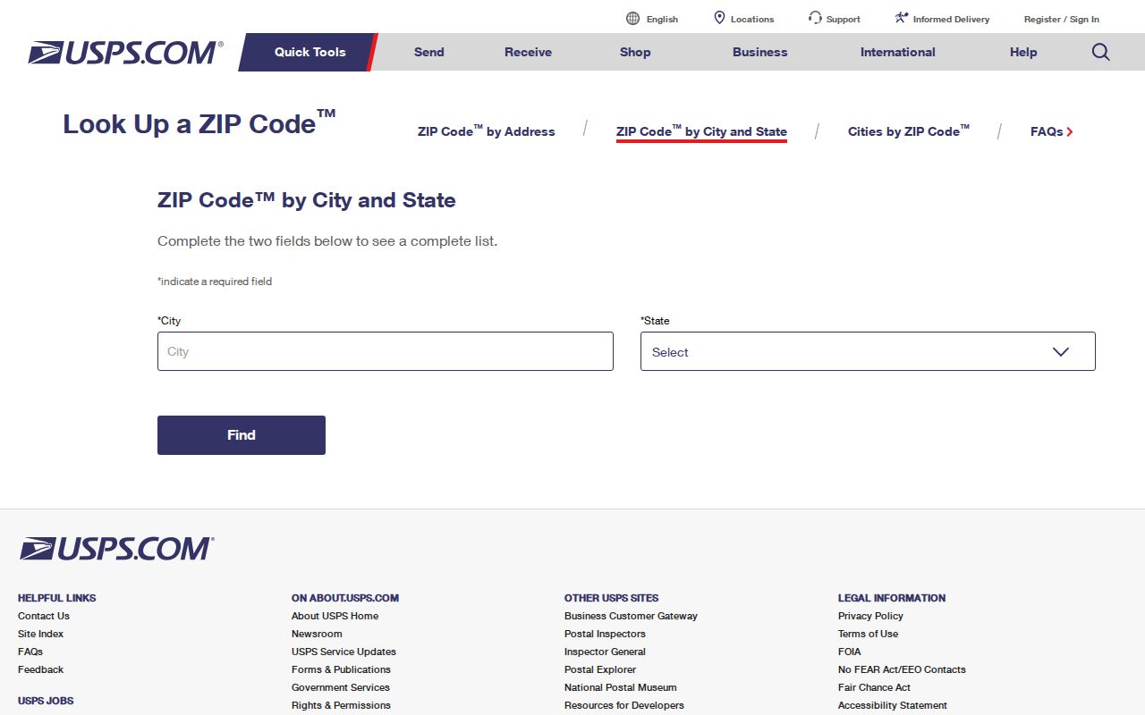
The USPS view keeps the 91780 finding grounded in a postal source. It does not turn a ZIP result into proof that a person lives at an address.
Temple City ZIP Boundaries and City Limits
Temple City covers roughly four square miles in the west San Gabriel Valley. It is bounded by Arcadia, San Gabriel, Rosemead, and Los Angeles County unincorporated areas. Those civic boundaries describe government jurisdiction. USPS delivery geography follows routes and address assignments, so the same city name, ZIP, or postal facility cannot answer every boundary question.
The city General Plan includes a Sphere of Influence. That sphere is an area over which Temple City may plan for future service or annexation questions, but it does not give the city regulatory authority over unincorporated parcels. A ZIP-code search therefore needs a second check when an address is near the sphere or another county pocket.
Temple City community and planning documents provide the local planning context for that distinction. The Temple City document center is a useful source for adopted plans, maps, and related public records.
The planning-document collection is represented below as a visual companion to the boundary discussion.
Planning documents can explain the city line and Sphere of Influence, while USPS decides delivery for an exact address. The two sources answer different questions and should not be merged.
Finding Residents by Temple City ZIP
A ZIP code narrows a question, but it does not create a verified resident roll. The Assessor begins with an exact situs address or a ten-digit AIN, not a public owner-name search. Its map can show nearby parcels after one address is located. The voter status tool is even narrower: it checks a supplied person and address combination rather than opening a street or ZIP browse.
| Portal field | How it helps a ZIP question |
|---|---|
| Search by AIN or Address | Anchors an exact situs parcel before a postal area is compared with city jurisdiction. |
| Map Layers | Shows parcel context and Recent Sales Parcels for the last 24 months after a result opens. |
| Voter status fields | Last name, birthdate, house number, and ZIP code are all required for a self-check. |
- Run the USPS exact-address check for the complete street number, street name, city, and state. Keep the returned ZIP and ZIP+4 with the search notes.
- Enter the same address, or its AIN, in the Los Angeles County Assessor Portal. Save the situs, parcel status, use information, and map link, but do not treat a parcel result as an occupant list.
- If the question concerns a voter’s own record, use the county status form with the required identity fields. A ZIP alone cannot authenticate a voter.
- For a street-level parcel run after the ZIP is confirmed, use the Temple City street records workflow and keep city parcels separate from unincorporated county parcels.
The useful output is a set of verified source checks: a postal result, an exact parcel anchor, and, when appropriate, a self-verified voter result. A ZIP filter should not be described as a count of all people who live in 91780.
Temple City Voter ZIP Verification
Los Angeles County’s voter status page requires four identifying values. It is a self-verification tool. A returned match confirms information to the person making the supplied search, while a nonmatch may reflect a spelling, birthdate, or address problem and is not proof that someone is unregistered.
| Field | What the form requires |
|---|---|
| Last Name | Alphabetic surname supplied by the voter. |
| Birthdate | Month, day, and year in the form’s date format. |
| House Number | Numbers only for the residence house number. |
| ZIP Code | Numbers only for the supplied residence address. |
| Search | Submits the identity and address combination for status checking. |
The broader voter file is released only for permitted political, election, scholarly, journalistic, or qualifying governmental purposes. Personal or commercial communication, unrelated surveys, solicitation, harassment, and transmission outside the United States are prohibited uses. Participation history can show that a ballot was credited, never how a person voted. Confidential voters are excluded from ordinary public routes.
Temple City ZIP Code Statistics
Census ZCTA 91780 is an approximate statistical area built from whole census blocks to represent USPS ZIP geography. It is not a carrier-route map and it is not a statement of Temple City’s incorporated population. The official Census profile reports a 2020 ZCTA population of 35,751.
The same profile provides 2024 American Community Survey estimates of 11,437 households and 12,049 residential units. Those figures describe the ZCTA, not necessarily the city, and survey estimates should not be treated as a live parcel count. They are useful context when comparing the size of the postal area with municipal documents.
That distinction prevents a common error: using a ZIP-area number as if it were a count of residents in a city directory. Census geography, postal delivery, municipal limits, and parcel assessment are four different layers.
Four Temple City Address Identities
Postal research becomes clearer when each address identity stays in its own lane. The Assessor’s exact-address search produces a parcel anchor. USPS supplies delivery geography. The county voter form uses a supplied house number and ZIP for self-verification. None of these layers, by itself, establishes who occupies a property.
- Situs address
- The physical location assigned to a parcel. The Assessor’s web result is keyed to this address or its AIN.
- Owner mailing address
- The destination used for tax or owner correspondence. Los Angeles County does not expose the owner name and mailing address through the public web parcel result.
- Legal description
- The land identity used in a recorded instrument. It can remain useful when a street label or city line has changed.
- AIN
- The Assessor’s ten-digit parcel key, commonly arranged as map book, page, and parcel digits. It anchors the parcel search, not a person search.
- ZIP and ZIP+4
- The first five digits identify a postal area; the extra four digits refine delivery. Neither is a deed boundary.
- PO-box ZIP
- A postal designation used for post-office boxes or a facility’s box service. It is not proof that a person lives at the post office.
- Unique ZIP
- A ZIP assigned to one organization or institution. No additional Temple City unique ZIP was verified in the reviewed sources.
- Carrier route
- A postal delivery route within a service area. It may be narrower than the ZIP and is not a resident directory.
“PO-box ZIP” and “unique ZIP” are general postal terms, not findings about an additional Temple City ZIP. The verified local table contains 91780 only.
Temple City ZIP Code Edge Questions
The city’s General Plan and Sphere of Influence make an edge address a planning question as well as a postal question. Research notes a concrete mailing-geography mismatch: a city mailing request planned about 13,000 pieces to ZIP 91780 and 800 pieces to ZIPs in unincorporated areas. That evidence shows why a city service area and a named ZIP should not be assumed to be identical.
For an edge parcel, confirm the ZIP at USPS, then check whether the physical parcel lies inside incorporated Temple City. Use the city’s zoning map for city parcels. Use Los Angeles County GIS-NET Public only when the parcel is in an unincorporated pocket or the county side of the Sphere of Influence. GIS-NET offers address, AIN, intersection, owner, coordinate, identify, query, buffer, measurement, export, and report tools, but the correct jurisdiction still comes first.
Boundary check. A Temple City mailing label can support postal delivery research. It cannot, without a parcel and jurisdiction check, prove that a record belongs to the incorporated city or that a person lives there.
Temple City Postal Geography
Temple City’s compact setting helps explain why postal and civic records often sit close together while still serving different purposes. Las Tunas Drive and Rosemead Boulevard are major commercial corridors, while much of the city is built out with infill. A ZIP lookup can locate the right postal service, but parcel maps, city planning records, and county records supply the more precise context for an address.
The city’s boundary neighbors include Arcadia, San Gabriel, Rosemead, and unincorporated county territory. That local geography is more useful than guessing from a list of nearby ZIP codes. No unverified nearby ZIP claim belongs in a Temple City ZIP code directory. Exact-address USPS validation is the safe answer whenever an address, mailing city, or civic boundary seems inconsistent.
Temple City’s public Maps page also links zoning, water-service areas, street sweeping, trash, and school-district boundaries. A water map can identify one of four purveyors for an address, but it does not identify the customers served there. Service layers add local context without becoming a household directory.