
Start with a Temple City Street Address
A useful street directory begins with an address and ends with a set of dated clues. The county Assessor can anchor a situs to an assessment number and the parcel map can show the lots beside it. Ownership context then points to the Los Angeles County Registrar-Recorder/County Clerk, whose name-and-year index is held in Norwalk. Voter information has a different gate, and an old address book may describe a subscriber rather than an owner. Keep each source in its lane.
- Start at the Los Angeles County Assessor Portal. Search the exact situs address or a 10-digit AIN, and save the AIN, situs, parcel status, use type, and map link.
- Open the county parcel viewer and click the neighboring polygons. Record each AIN and its parcel facts. The map is an assessment aid, not a survey, and a nearby city label does not settle jurisdiction.
- For owner and tax-mailing identity, use the Assessor's East District counter. The public web result gives parcel facts but does not offer a broad owner-name search or expose the mailing address.
- Take the person name and an estimated acquisition year to the RR/CC alphabetical index in Norwalk. Search the grantor and grantee books, capture the document number, and then order the deed or inspect it in person.
- Use the LA County voter-status form only for a supplied identity and address combination. Then move to historical volumes, including the address-searchable collections described in the Temple City city directory page, when the question is about an earlier household.
The chain is address → AIN → owner context → deed chain → self-verified voter record → historical directory. Each arrow narrows the question without turning a parcel into a claim about every person present.
Temple City Street Search Fields
The Assessor's search is the cleanest first move because it works from a place rather than a guessed resident name. Basic Search is the general parcel mode. Legal Search is the map and legal-description mode. The one-box search accepts an address or AIN, while Map Layers adds visual context after a result opens.
| Field or mode | Type | Required | What to expect |
|---|---|---|---|
| Basic Search | Tab | No | General parcel search mode. |
| Legal Search | Tab | No | Legal and map-oriented mode. |
| Search by AIN or Address | Autocomplete text | Yes | Enter a 10-digit AIN or a situs address. |
| Map Layers | Panel | No | Includes Recent Sales Parcels for the last 24 months. |
The parcel detail can show use type, parcel type, tax-rate area, status, values, exemptions, building and land facts, map index, and change activity. It does not make the physical situs equal to the owner's tax-mailing destination. Keep both labels in notes.
For a visual read of adjacent Temple City lots, the Assessor parcel viewer named in the local records map is useful for a street-by-street run, but its boundary lines are not a substitute for a recorded legal description.
The Los Angeles County Assessor map viewer supplies the parcel view used to follow a Temple City street one lot at a time.
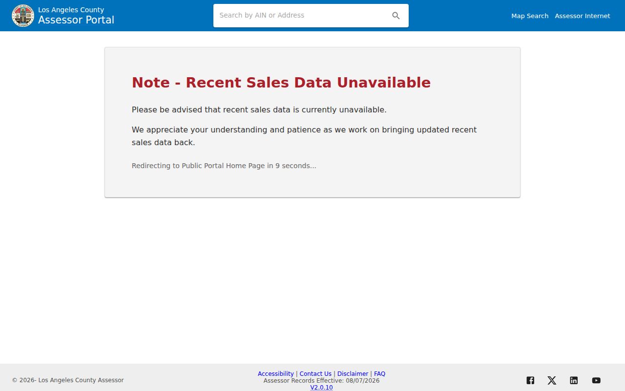
The map image is a starting grid, not a resident list. Save the AIN before moving to a different record keeper.
Temple City Street Records
Address-keyed records overlap, but none has the same purpose. An AIN connects the Assessor detail to a parcel map. A person name and recording year connect a parcel story to the offline deed index. A permit can name an applicant or owner in a surviving application. A voter product is controlled by political-use rules, while a historical reverse directory may show only a subscriber line.
| Address record | Keeper | Street clue | Access and limit |
|---|---|---|---|
| Parcel detail | LA County Assessor | Situs, AIN, use, status, values, land and building facts | Free by address or AIN; owner and mailing data are counter routes. |
| Parcel map | LA County Assessor GIS | Polygons, nearby AINs, recent-sale layer | Free map; assessment lines are not a survey. |
| Recorded instruments | RR/CC | Grantor, grantee, recording event, legal description | Name-and-year index in Norwalk; no web index. |
| Permit archive | Temple City | Project address and participants on surviving scans | Street name first, then number; archive coverage is not fully published. |
| Current cases | Temple City | Pending permits, plan review, active code cases | Current embedded search; field labels were not exposed. |
| Zoning map | Temple City Planning | Parcel land-use and zoning context | City map for incorporated parcels; county GIS for county territory. |
| Historical address book | Libraries and archives | Subscriber or occupant clue by address | Use only verified runs; coverage is not a continuous local reverse set. |
The best street directory notes the source, date, AIN, name form, and result type for every line. That makes it possible to tell a recorded transfer from a permit applicant and a historical telephone subscriber from a current resident.
Temple City Street Terms
Four words make address research easier to read. They describe different layers of the same place, so they should not be swapped in a note or a request.
- Parcel
- A piece of land treated as one assessment unit. The AIN is the county key used to retrieve its parcel detail.
- Situs address
- The physical location of the parcel. It is not automatically the owner's tax-mailing address and does not prove who lives there.
- Plat
- A mapped plan that shows lots, blocks, lines, or other land divisions. A plat gives layout context; a deed's legal description controls the recorded transfer.
- Criss-cross directory
- An address-ordered historical directory. It can let a researcher read house numbers in sequence, but a gap or listing is not current occupancy proof.
VAC or VIC may mark a proximity location in the Assessor environment. City labels can differ from the incorporated boundary. Capture the AIN and confirm the responsible planning office before calling a parcel a Temple City record.
Map a Temple City Street
Once an address resolves, the map supports a careful walk along the block. Click a neighboring polygon, save its AIN, and repeat. The Recent Sales Parcels layer is limited to the last 24 months, so it is a clue for recent change rather than a full title history.
Temple City Planning's ArcGIS zoning map supplies city land-use context. The Temple City zoning page lists the planning contact, while LA County GIS-NET Public is the better fit for nearby unincorporated territory and Sphere of Influence questions. The same street can cross a records boundary even when its postal label looks unchanged.
GIS-NET supports address, AIN, intersection, owner, and coordinate searches, plus identify, query, buffer, parcel, measurement, export, report, print, aerial, oblique, and Street View tools. Those tools describe land and jurisdiction. They do not create a list of people on a block.
The Temple City maps page brings zoning and service-map links together for a street-level jurisdiction check.
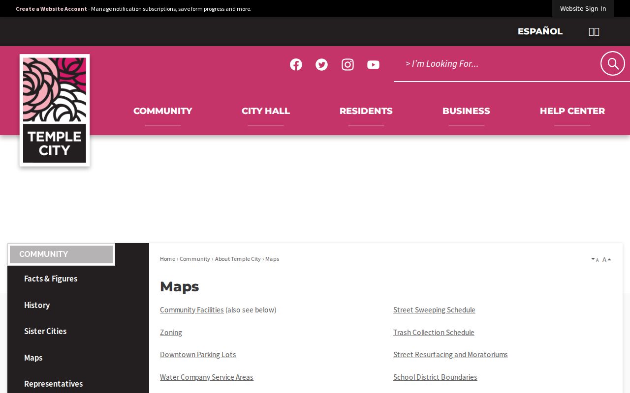
Use the map image to confirm which agency owns the next step. A county pocket needs county routing even when a Temple City address search feels close.
Temple City Street Permits
The Temple City permit archive is address-led. Its search sequence is street name first, then street number, and the result can open scanned permit images. The archive page warns that only a small number of concurrent users may search at once; a busy response calls for a later retry rather than a new conclusion.
The application fields show why a permit is useful but narrow. A surviving form may carry project address, city, ZIP, APN, cross street, project description, owner or applicant details, contractor information, and design professional details. Those are application fields, not a promise that every item is released without redaction or that a named person lived at the address.
The Temple City Permit Search is the archive route. The separate current Case Search covers pending building permits, current plan reviews, and active code-enforcement cases. Its embedded Quickbase fields were not available in the research capture, so treat the visible result as a current case lead.
The Temple City permit archive demonstrates the street-then-number path for scanned address records.
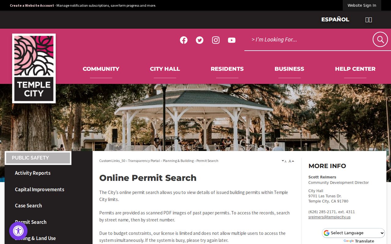
Permit scans can mark construction or alteration history. They still need a deed, parcel, or other dated source before they are used to describe a resident.
The Temple City current case search is the live counterpart for pending permits, plan reviews, and active code cases.
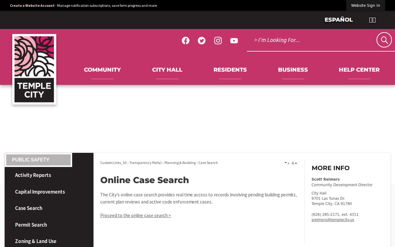
A current case is not a title record. Its value is temporal: it can show what the city is reviewing now, while the archive may show an older project.
A Temple City Streetwide Deed Chain
Los Angeles County real-estate records reach back to 1850, but the index is not on the Internet. At Norwalk, 1851–1957 material is on the lower level and 1958–present indexes are on the second floor. The books are arranged by grantor and grantee name and recording year, not by street, AIN, or address. A streetwide deed search therefore turns each parcel into a person-and-year task.
First obtain the current parcel context. The Treasurer and Tax Collector AIN lookup can help confirm the assessment key, while the public Assessor portal establishes the situs. For an AIN lead, the county describes ten digits as map book, page, and parcel. An AIN is a locator, not a deed index.
Schedule the RR/CC visit through its real-estate records viewing instructions. Appointments may be made up to two weeks ahead, and staff do not accept index searches by telephone. Once a document number is known, the copy route is more direct. The fee page lists a plain copy at $5 for the first page plus $3 for each additional page, a certified copy at $6 plus $3, and a name-and-year search at $0.50 with a $1 minimum.
The Los Angeles County AIN lookup shows how an assessment key supports the move from address evidence to recorder research.
Bring the grantor, grantee, likely year, and document number into one research note. The deed's legal description, not the Assessor's boundary text, controls the land identity in the transfer.
Temple City Voter Street Index Rules
The free LA County voter-status tool is a self-check. It asks the person checking their own record for four fields, and it is not a browseable street roll. A nonmatch may reflect spelling, address, or birthdate issues; it is not proof that a person is unregistered.
| Required field | Format | Purpose |
|---|---|---|
| Last Name | Alphabet only | Matches the supplied voter identity. |
| Birthdate | mm/dd/yyyy | Confirms the person's supplied birth date. |
| House Number | Numbers only | Checks the supplied residence number. |
| ZIP Code | Numbers only | Checks the supplied address area. |
The separately purchased street index is restricted to permitted political purposes under Government Code §7924.000 and Elections Code §2194. Candidates, committees, election work, qualifying scholarly or journalistic use, political activity, and qualifying government use follow a contract and fee route. Private communication, unrelated surveys, solicitation, harassment, and transmission outside the United States are prohibited. It is not a general neighbor directory.
The RR/CC voter information and fee page is the right starting point for a current product request. The county lists a $146 countywide file, a $54 precinct, district, or city file, and a $39 additional file, but a requester must confirm the current order form and purpose.
The LA County voter information page separates personal status checking from contracted political-use products.
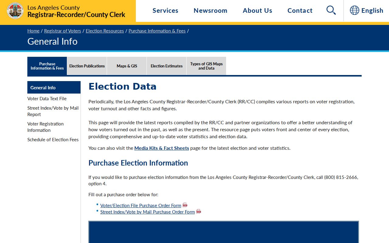
Use the voter image as a reminder to preserve the purpose of the request. The form can verify a supplied record, while Elections Code rules keep broader voter information within defined uses.
Temple Before Temple City Streets
Temple City street research has a catalog wrinkle. Walter P. Temple's townsite began in 1923, and the name changed from Temple to Temple City in 1926. The city incorporated in 1960. A directory, map, deed, or county record made before those dates may use the older place name even when the parcel sits in the modern city.
Preserve the original wording in notes. Search Temple, Temple City, Alhambra, San Gabriel, and Los Angeles County when an early address does not appear under the modern label. The research did not locate an official street-renumbering table or complete grid-origin record, so an apparent mismatch should be checked against the deed, map, and catalog rather than corrected by guesswork.
The 1931–1959 directory leads and the 1925 Sanborn map predate incorporation. That is why county, library, railroad, and civic records matter in a street directory that reaches backward. Municipal status is a date in the record trail, not a cutoff for the people who lived there.
What the Temple City Street Directory Omits
A street directory cannot name every person connected to an address. A non-owner occupant, household member, minor, utility customer, delivery recipient, or person protected through a confidentiality program may be absent from the parcel, deed, voter, or permit layers. DMV residential data is restricted, and Safe at Home can substitute a mailing address for qualifying participants.
An owner is not automatically a resident. A permit applicant is not automatically an occupant. A historical telephone subscriber is not automatically a title holder. Commercial compilation tools can merge old public filings and same-name records, so an official source with a clear date and custodian is the better audit trail.
Lawful use. Temple City address records support personal, lawful research, family history, property questions, and civic understanding. Do not use a street directory to stalk, harass, intimidate, or harm another person; verify a disputed record with the office that keeps it.
When the question changes from a whole street to one person, compare two independent facts and use the Temple City resident lookup workflow. The street view supplies context; it does not replace consent or a custodian's correction process.